If you were in Bukit Bintang recently, you might have noticed a man walking around with what looked like a giant sci-fi backpack.
It wasn’t a new tech gadget launch or a cosplay costume, it was something you’d usually only see online.
The large backpack, marked with the Google Maps logo, was part of the Google Maps Trekker program, designed to capture 360° images of places that cars can’t reach.
From the streets to the screens
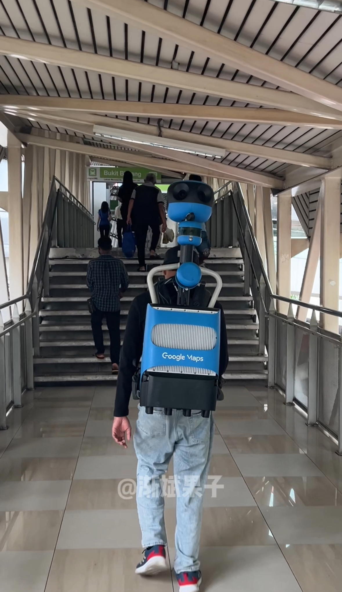
In a TikTok video that quickly went viral, the man can be seen weaving through Bukit Bintang and crossing the pedestrian bridge to the nearby LRT station.
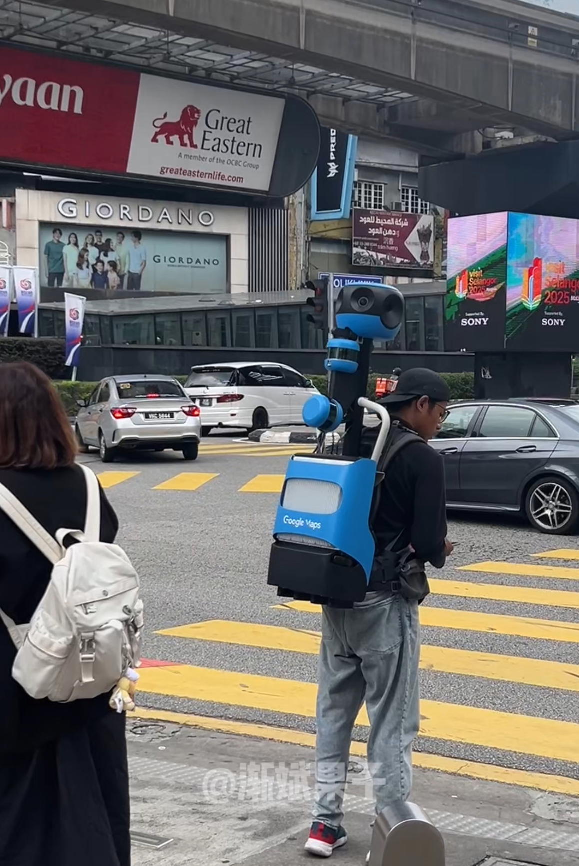
While it might look like a casual stroll, his walk had a very specific purpose; updating Google Maps with fresh, high-quality images.
Unlike the iconic Street View car, the Trekker backpack makes it possible to map:
- Narrow lanes that vehicles can’t enter
- Pedestrian-only streets and bridges
- Tourist hotspots where walking is the only option
These images will later be stitched together and uploaded to Google Maps, helping users preview locations before they visit.
More than just a walk in the park
At first glance, it might seem like the perfect job, walking around, exploring, and getting paid for it. But in reality, there’s more to it than meets the eye.
- Weight: Older Trekker models can weigh up to 18kg
- Value: The system is worth tens of thousands of ringgit
- Tech: It’s equipped with multiple high-resolution lenses and advanced GPS sensors
- Care: The gear must be handled carefully to avoid damage
Carrying it around in Malaysia’s heat requires stamina, precision, and a lot of patience.
Google Maps is regularly updated in Malaysia, but most of the work is done by cars. That’s why spotting a Trekker in action on KL’s busiest streets feels like a behind-the-scenes glimpse into how the app works.
The unusual sight quickly sparked conversations online. Many netizens said they’d love to try the job, calling it the perfect mix of work and exercise.
One person even claimed the role comes with good pay and benefits, as long as the worker follows Google’s procedures.
Watch the video here: